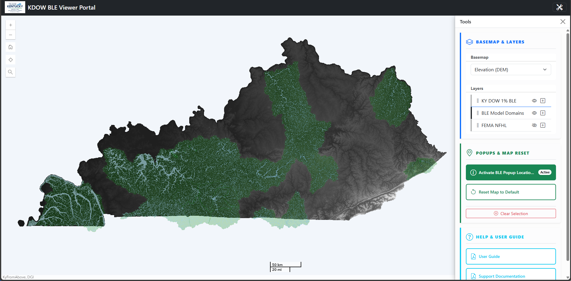
Kentucky Flood Data Library

Kentucky Division of Water’s (DOW) Risk MAP site serves as a centralized gateway for users to access a curated collection of web portals, interactive viewers, and data trackers designed to support planning, analysis, and decision-making. Whether you’re looking for regulatory or non-regulatory data, study updates, or FEMA resources, you’ll find tools that are regularly updated to provide the most current information available.

Important Disclaimer

Information and maps are for informational purposes only, are subject to revision or correction at any time, and cannot be relied upon for regulatory purposes. DOW assumes no responsibility for errors arising from misuse of the maps and data. DOW disclaims any liability for injury, damage, or loss that might result from the use of this information. In no event shall DOW become liable to users of these data and maps or any other party arising from the use or modification of the data and maps. Any visitor to this site uses this information at their own risk.
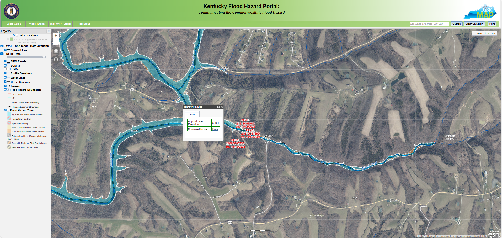
Flood Hazard Map Portal

Flood Hazard Portal

The Flood Hazard Portal is an application to view the Commonwealth's regulatory floodplains. Where data is available, a user can also download the hydraulic models used as the basis for the floodplain elevations, which can be determined at specific locations. Click the button below or on the map icon to enter the Flood Hazard Portal.

Risk Map Studies Tracker

Risk MAP Studies Tracker

The Risk MAP Studies Tracker provides floodplain mapping status information for all of the Commonwealth's counties and HUC8 watersheds. With this application, a user will see if their community is currently undergoing a study, what type of study the community is undergoing (regulatory or non-regulatory), and when the most recent study was completed for a community. Click the button below or on the map icon to enter the Risk MAP Studies Tracker.

BLE Data Viewer

BLE Data Viewer

The Base Level Engineering (BLE) Viewer is an interactive web map that displays flood prone areas and water surface elevations derived from BLE modeling. As regulatory Flood Insurance Rate Maps (FIRMs) take significant time and resources to update, this tool can offer more current analysis from newer software and input data. While not a substitute for regulatory maps, the tool provides valuable, timelier informational insight, and access to downloadable BLE models for further analysis.